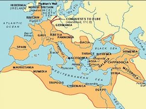

Urban dwellers will recognize this map at first glance! But when you look a little closer you will see that you are not in Kansas anymore.
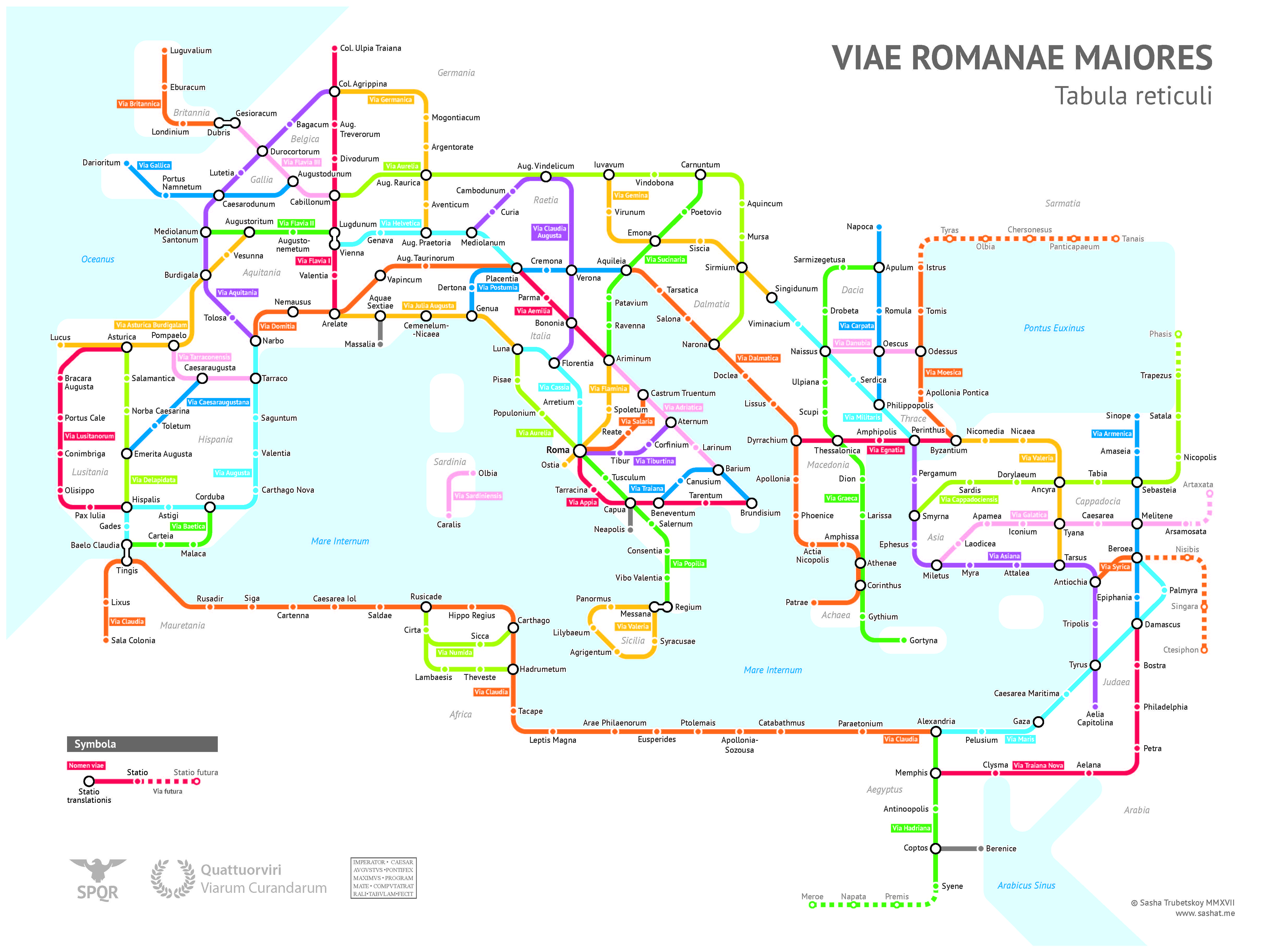
You are, in fact, in the Roman Empire in the year 125CE. And the “subway lines” you see are the Roman highway system as it existed in that year to the best of our knowledge (with some assumptions). Solid lines reflect existing routes, dotted lines reflect Roman aspirations or partially complete routes where the Romans might have been active but had not yet established the control required to extend their infrastructure.
The map is the brainchild of a graduate student at the University of Chicago, Sasha Trubetskoy and it is absolutely brilliant, rendering the stunning breadth and scope of the Roman footprint in such a tangible way. I have not stopped marveling at it and I’m sure that you will as well.
Hop on the highway in Londinium and ride it to Petra? No problem, it could be accomplished within the confines of the Empire. To provide a concrete example of this marvelous system, Mr. Trubetskoy estimates that a trip from Rome to Constantinople would take approximately 2 months on foot, a journey that could be reduced by half if the traveler “transferred” to sailboat for part of the trip…
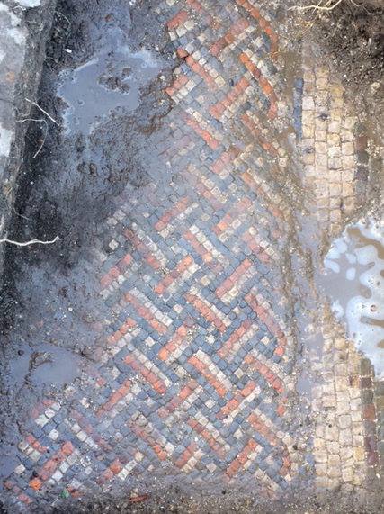
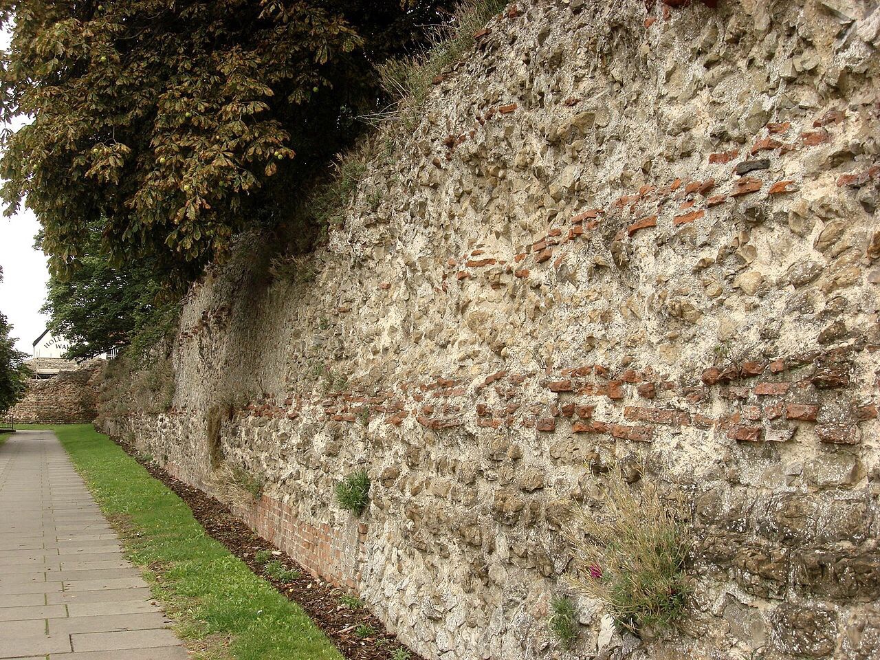
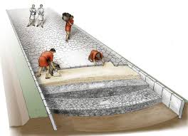
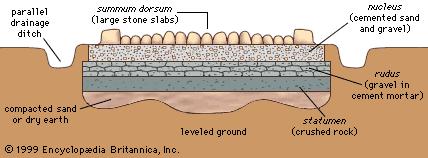
In addition to Trubetskoy’s subway map, below you will find images depicting the design of the typical Roman highway as well as actual examples of such roads as they currently continue to exist across the Empire (including in war-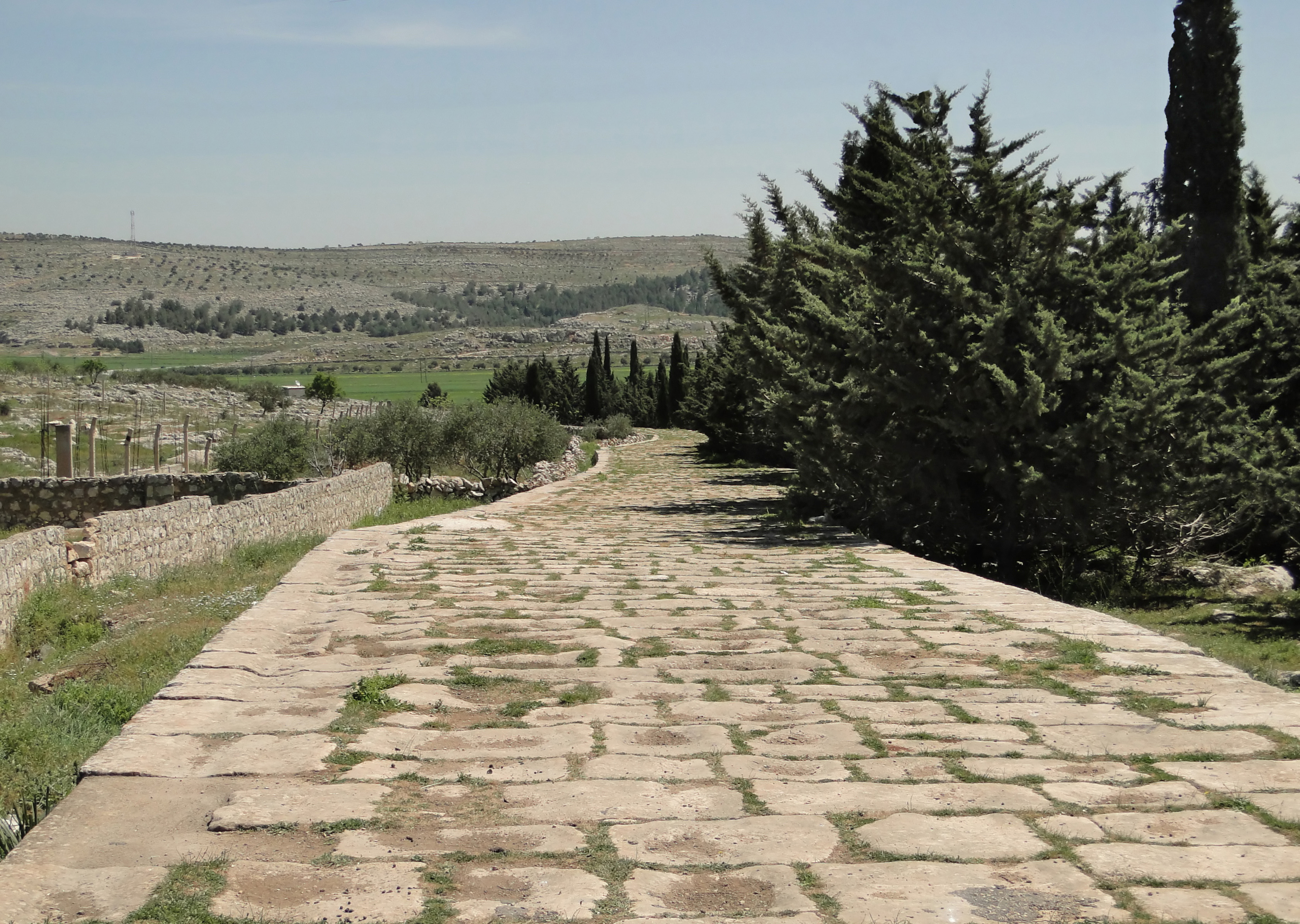 torn Syria such as in this image to the right), where two thousand years later the accomplishment of Roman engineers is still remarkably evident.


For those interested in readying more please see the website of the map’s creator by clicking here.